Import/Export of Data
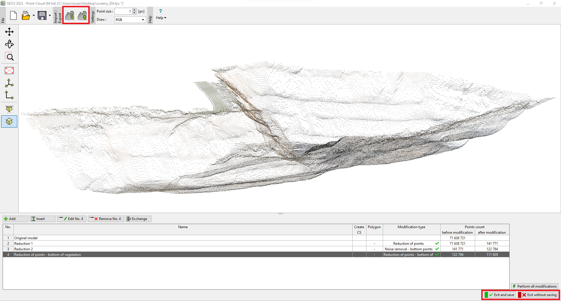
Import and export of data in the "Point Cloud" program is performed using the buttons on the upper toolbar.
Data can be imported into the program in several formats: *.las, *.laz, *.e57, *.tif, *.tiff.
The individual formats may differ in the data content for specific points.
When the next cloud is loaded, the program asks if we want to overwrite the source data. If we confirm, the new cloud is loaded instead of the original one. If we do not overwrite the source data, the points of the new cloud are added to the original one. In this way, multiple clouds can be stacked together.
Data export is performed in the following formats: *.las, *.txt. The exported state is always the state after the last modification.
If the program is launched under the Stratigraphy program, all points can be transferred directly to this program using the buttons at the bottom of the window.
 Import/export of data