
GEO5 genera relazioni/output in diverse di lingue - utile per progetti esteri.
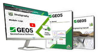
I nostri tutorial e manuali ti guideranno in maniera rapida.
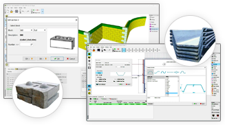
GEO5 contiene cataloghi di sezioni, palancole, ancoraggi, geogriglie di rinforzo e blocchi.
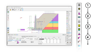
I programmi GEO5 hanno un ambiente di lavoro comune e un flusso di lavoro intuitivo dall'alto verso il basso.
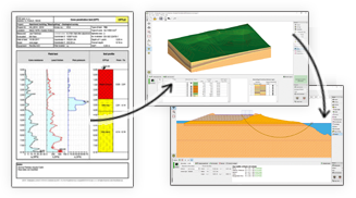
GEO5 integra la modellazione di dati geologici con attività geotecniche avanzate.
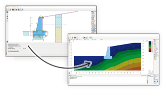
GEO5 consente il confronto tra due soluzioni indipendenti.
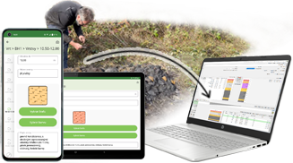
Raccogli i dati geologici sul campo e inviali al programma Stratigrafia.
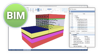
GEO5 esporta i dati nei formati BIM più utilizzati e con la possibilità di condividerli con programmi esterni.
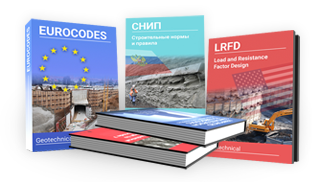
GEO5 è uno strumento universale per gli ingegneri in tutto il mondo.
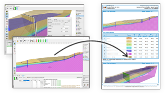
I report di output GEO5 possono essere facilmente modificati o esportati in formati PDF o MS Word.
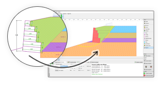
GEO5 consente di trasferire i dati tra singoli programmi.

GEO5 genera relazioni/output in diverse di lingue - utile per progetti esteri.

I nostri tutorial e manuali ti guideranno in maniera rapida.

GEO5 contiene cataloghi di sezioni, palancole, ancoraggi, geogriglie di rinforzo e blocchi.

I programmi GEO5 hanno un ambiente di lavoro comune e un flusso di lavoro intuitivo dall'alto verso il basso.

GEO5 integra la modellazione di dati geologici con attività geotecniche avanzate.

GEO5 consente il confronto tra due soluzioni indipendenti.

Raccogli i dati geologici sul campo e inviali al programma Stratigrafia.

GEO5 esporta i dati nei formati BIM più utilizzati e con la possibilità di condividerli con programmi esterni.

GEO5 è uno strumento universale per gli ingegneri in tutto il mondo.

I report di output GEO5 possono essere facilmente modificati o esportati in formati PDF o MS Word.

GEO5 consente di trasferire i dati tra singoli programmi.

GEO5 genera relazioni/output in diverse di lingue - utile per progetti esteri.

I nostri tutorial e manuali ti guideranno in maniera rapida.

GEO5 contiene cataloghi di sezioni, palancole, ancoraggi, geogriglie di rinforzo e blocchi.

The software in general is very good and ties in well with the way we do things here. From our review, the calculation results compares very well with our methods for both slope stability and settlement. The graphics and the ‘point-and-click’ data input are also very good and makes the program very easy to use.

It’s really great how easy the software is. I’m now doing the calculations so much faster and easier than doing it manually and most importantly, the technical customer service team are great and they respond instantly and professionally to any question or clarification. Thank you guys for being so awesome. High fives!

Great software....highly recommend.....always updating/improving and implementing feedback from users.